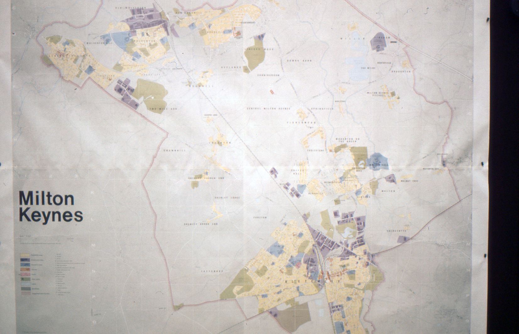
You are here: Home>Archive>T Wahlberg Collection>Miscellaneous collection of slides>Map of Milton Keynes Map of Milton Keynes Map of Milton Keynes Colour slide of a map showing the designated area of Milton Keynes, existing built areas are coloured Date of coverage 1970s Reference number TWC/02/008 Storage location TWCS140 No Comments Start the ball rolling by posting a comment on this page! Add a comment about this page Your email address will not be published. Required fields are marked *Your comment:Name * Email * Website Save my name, email, and website in this browser for the next time I comment. I consent to my name and e-mail address being stored along with this comment, and to the website editors communicating with me by e-mail about the comment if necessary. My name may be published alongside the comment on the website, but my e-mail address will not be published. My information will not be shared with any third party (see our Privacy Statement - opens in a new window). * Δ In this collection Our archive Collection: T Wahlberg Collection Group: Miscellaneous collection of slides Item: Woughton Dial a BusItem: Woughton Dial a BusItem: Woughton Dial a BusItem: Woughton Dial a BusItem: Woughton Dial a busItem: Information signs postersItem: Woughton Dial a BusItem: Map of Milton KeynesItem: Industry signsItem: Designs for public utilitiesItem: A Milton Keynes bench and binItem: Plans of play equipment for parksItem: Three logo platesItem: Milton Keynes and Broughton Community Centre Search the archive Text search Date search


No Comments
Add a comment about this page